Canyoning in Castellane in the canyon of Haut Jabron
Google Reviews
About online booking
Online booking is only available for part of our schedule.
To get information about other dates and tours, call us or use the "contact" tab.
We offer many other options!
Technical sheet
Canyon of Haut Jabron
- Difficulty : Discovery
- Period : From May to September
- Minimum age : 8 years
- Walk to go : 30 min
- Walk to return : 40 min
- Activity duration : 1h30
- Total duration : 3h00
- Equipment to bring : swimsuit, running shoes, bottle of water.
- Appointment : 9.00 AM or 1.00 PM, canyon's car park, La Batie (04)
- Compulsory jump : No
- Compulsory abseiling : No
- Price per person : 45€
Book online Canyon du Haut-Jabron
The initiation trail of the Haut-Jabron is one of the most beautiful and accessible canyoning course of the Verdon Gorges’s regional park.
Located in the village of La Batie, about 20 minutes drive from Castellane towards Grasse, this canyon is a true gem.
The shortness of this trail makes it perfect for each and every one to experience canyoning safely. Even the most difficult obstacles can be easily overcome. If you are seeking for a thrilling experience, you can always do it again!
If you have already practiced canyoning before and this course seems too short or too easy, do not hesitate to have a look at our other trails in the canyoning in the Gorges du Verdon.
Vidéo Canyoning : Canyon of Haut Jabron
Description Canyoning : Canyon of Haut Jabron
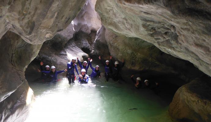
From the meeting spot (a parking lot located 20 minutes away from Castellane), your certified instructor will provide you with all the necessary equipment to practice canyoning safely: a wetsuit (jacket and pants), a pair of neoprene socks, a helmet and a harness equipped with safety lanyards. You will then walk about 30 minutes along a quiet shaded path to reach the starting point of the trail in the Canyon of Haut-Jabron.
Your instructor will help you gear up and give you instructions for a safe descent of the canyon. The canyon of Haut-Jabron begins with a short hike along the river, allowing you to immerse yourself into the wonderful surroundings.
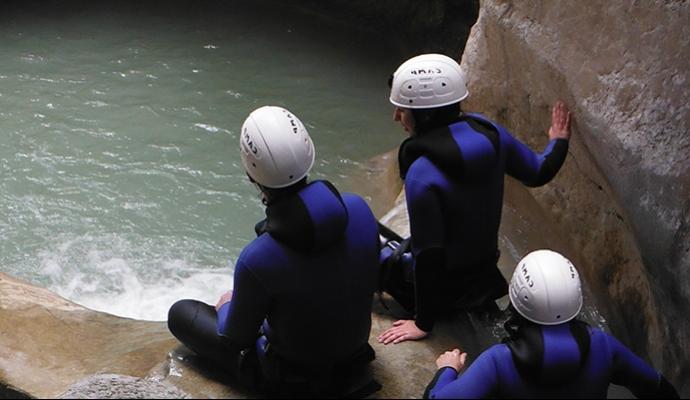
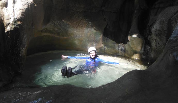
After a short while, you will reach the top of the first big slide (4 meters / 13 feet), landing in a large and deep pool. You will just have to swim across before waiting quietly on the other side and see the face of the last participants upon arrival of the slide.
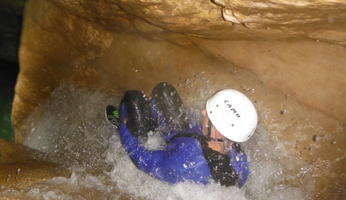
After that, you will take a path in a very cashed corridor, almost underground, which lead to the second slide, also called ‘’l’homme obus’’ (the shell man’s slide). This slide is about 6 meters long (approximately 20 feet), a slide very well known by fans of canyoning. Nothing dangerous, but a real acceleration that'll drive you a few seconds under water.
For the less adventurous ones, a handrail rope is available allowing you to bypass the slide smoothly. You can then taste the joys of jumping from a 4 meters high platform (13 feet). Like the slide, this jump is optional.
You will then make your way through a narrow passage to access another jump (also optional) approximately 5 meters high (16 feet). Then, you will go down a 10 meters abseil (33 feet) from a terrace, which is accessible using a rope.
This will be the end of your aquatic adventure! After taking off your equipment, there will be a 30 minutes walk to your car.
If you enjoyed this adventure, do not hesitate to come back and try our full day canyoning in Nice or our sports canyoning course canyoning in the Alpes Maritimes.
To help you spot you localisation, you can use the map below. Find your itinerary by clicking on the cursor.
Localisation Canyoning : Canyon of Haut Jabron
You can use map to find your way and calculate your route clicking on the marker. The travel time estimated by Google have to be increased of 20 %, what is equivalent to our small mountain roads.
Veuillez patienter pendant le chargement de la carte...


